
MATCH THE DAY TO YOUR GROUP
Glen, hill or a gentler path?
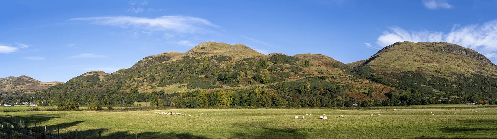
Alloa sits below the southern side of the Ochils. Nearby walks range from short outings on low-level paths to exposed hill routes. A small distance on a map does not necessarily mean an easy walk: gradient, surface, weather and daylight matter more.
| Place | Character | What to consider |
|---|---|---|
| Dollar Glen | Woodland, burns and waterfalls | Steep paths and bridges; choose a loop that suits your group. |
| Alva Glen | Waterfall gorge above Alva | Uneven ground, slippery sections and steep drops. |
| Dumyat | Open hill and summit | An exposed hill walk; use a mapped route and suitable conditions. |
| Ben Cleuch | The highest summit in the Ochils | A more demanding hill day. Check the Tillicoultry Glen closure before selecting a route. |
| Gartmorn Dam | Reservoir and nature reserve | A gentler circuit; check surfaces and access for your group. |
| Devon Way | Former railway path | Walking and cycling; choose a manageable out-and-back section. |
WATERFALLS & WOODLAND
Dollar Glen & Alva Glen.
Dollar Glen
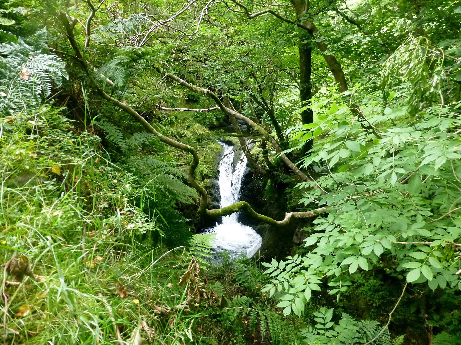
Wooded paths follow the Burns of Care and Sorrow below Castle Campbell. The Trust describes a network of loops with bridges and steep sections. Pick a shorter loop if your group prefers a compact outing; do not assume a glen route is step-free.
See Dollar Glen’s official walks. Castle Campbell is a separate historic site, so check its own opening arrangements if you intend to visit it as well.
Alva Glen
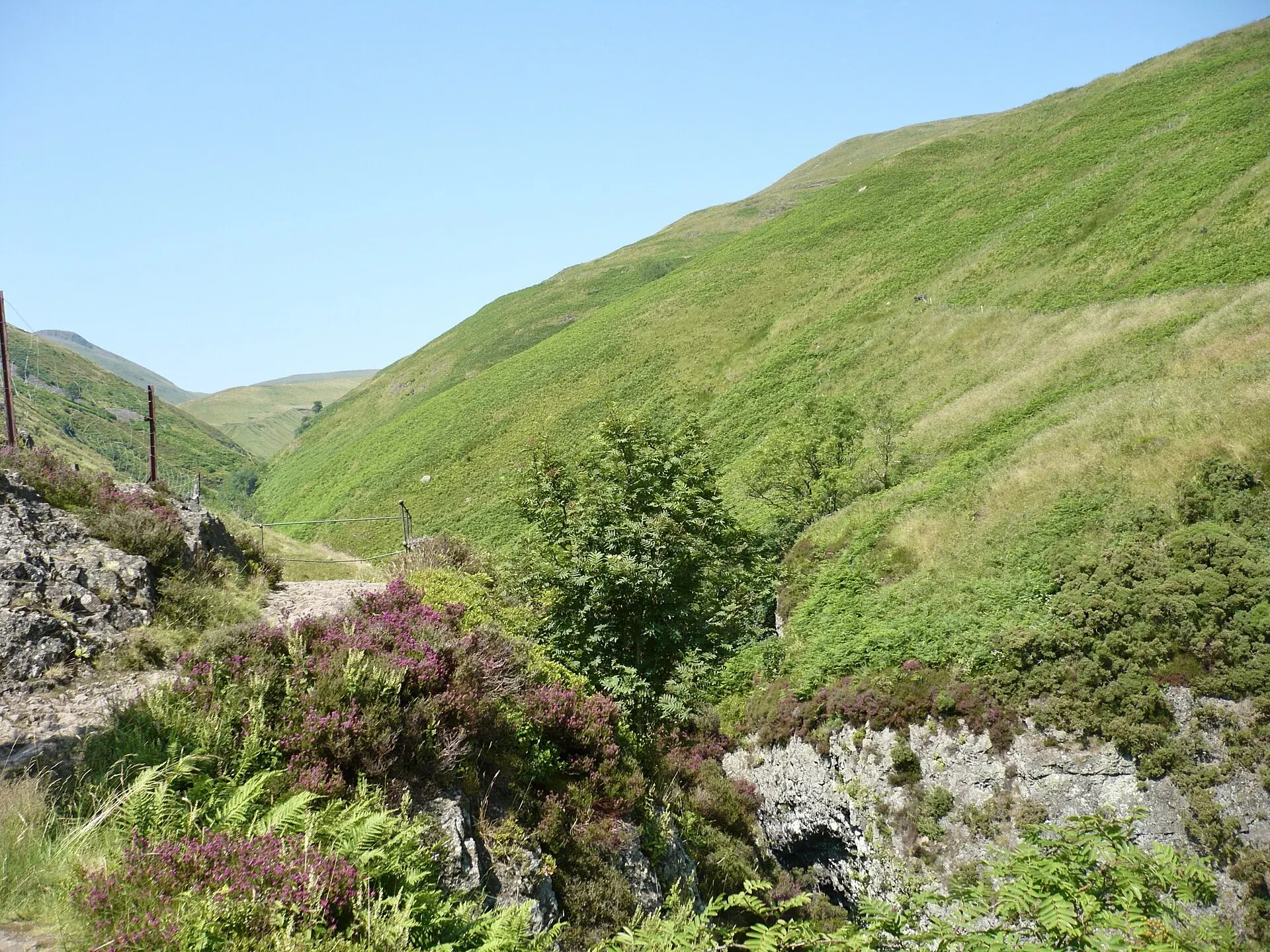
Above the town of Alva, the setting changes from formal gardens to a more rugged gorge. The council highlights uneven ground, slippery surfaces and steep, unfenced drops. Take care with children and turn back if the conditions do not suit your group.
Read the council’s Alva Glen visitor information before setting out.
OPEN GROUND, WIDER VIEWS
Dumyat & Ben Cleuch.
Dumyat
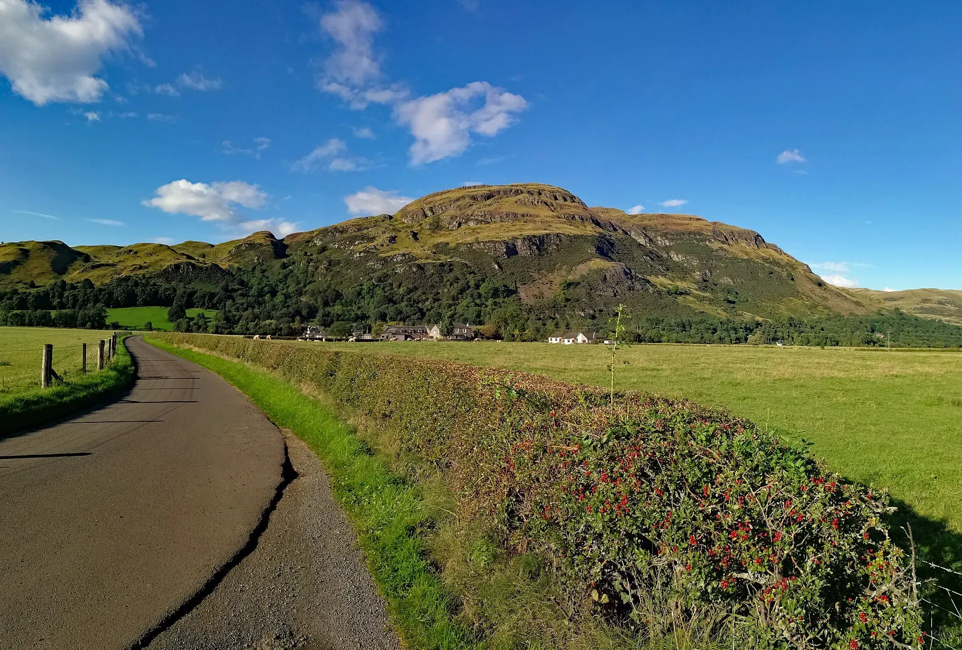
Dumyat is one of the lower Ochil summits, with open views towards Stirling and the Forth valley. It remains a hill walk with exposed ground. Choose a specific route, check the weather and carry navigation rather than treating its lower height as a guarantee of an easy day.
Ben Cleuch
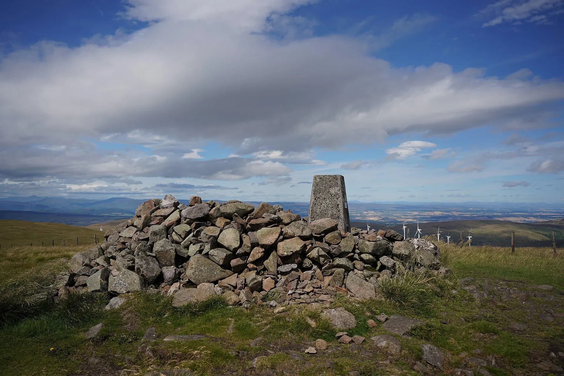
Ben Cleuch is the highest point in the Ochils. A commonly described hill circuit approaches via The Law and Ben Ever; it is a separate outing from Dumyat. Allow enough time for the ascent, descent and changing conditions.
The council’s current notice says the glen is closed from the first bridge, with an alternative route on the east side. Do not follow a route through the closed section. Read the council’s current notice and choose a route that avoids it.
Read the Ben Cleuch route and current notes alongside the council update. A summit is optional; turning back is part of sound planning.
A QUIETER OUTING
Gartmorn Dam & the Devon Way.
Gartmorn Dam Country Park
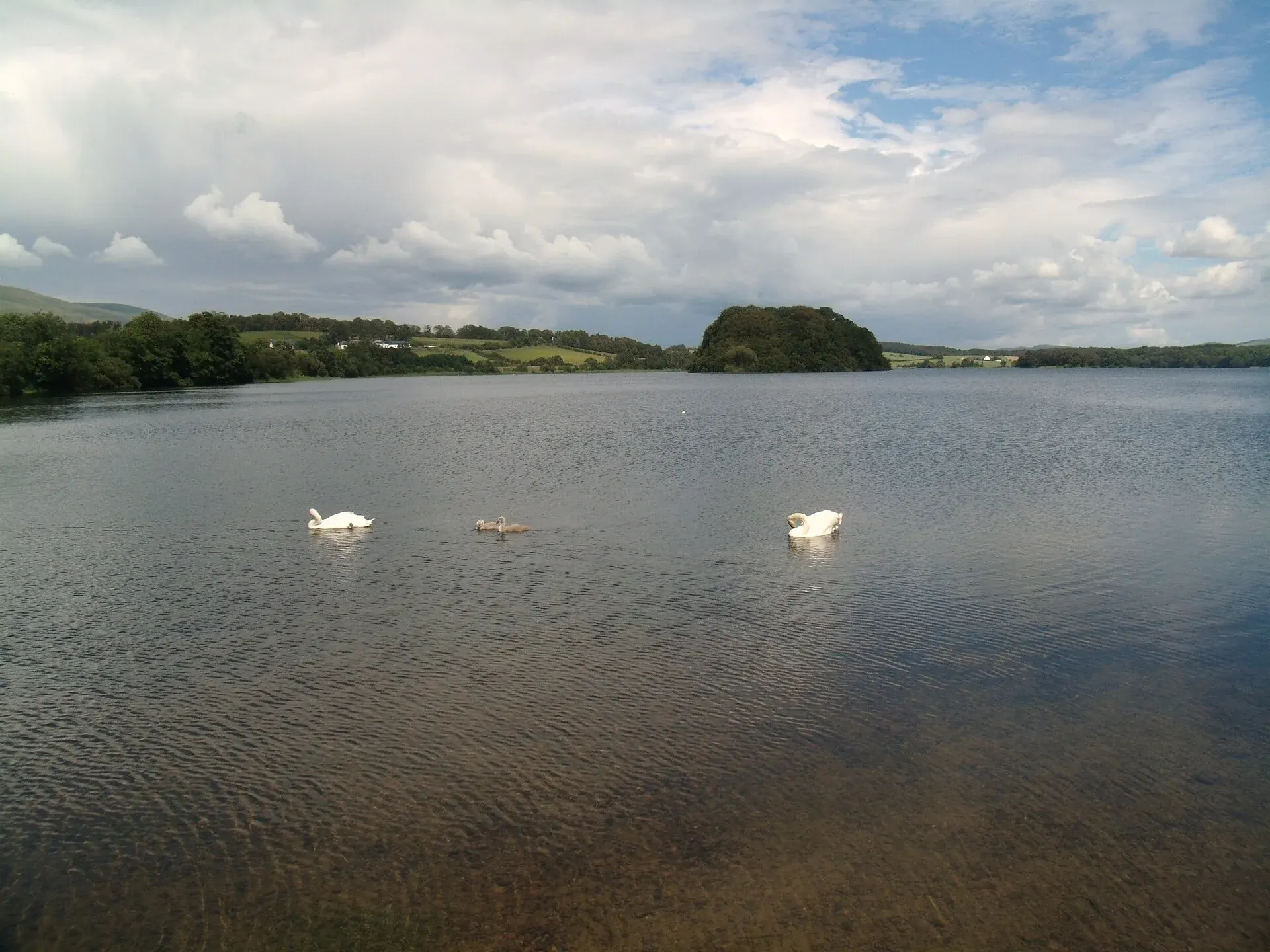
The reservoir and surrounding nature reserve offer a lower-level walk with time for watching birds. It is a useful alternative to climbing a hill. Surfaces and access vary, so check suitability if anyone uses a pushchair or mobility aid.
The council lists free parking, with seasonal vehicle-gate hours. Check Gartmorn Dam’s current access information before arriving, especially if you expect to return late.
Devon Way
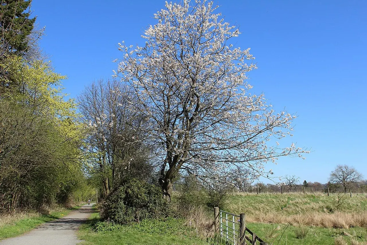
The former railway route provides a largely level option for walking or cycling. Choose a section that matches your energy and travel arrangements; an out-and-back avoids needing a return transfer. Remember that a longer route combining the railway path and hills may be much harder than the level section alone.
See a mapped Devon Way walk between Tillicoultry and Dollar.
BEFORE YOU LEAVE
Make room for the practical things.
- Check a current route, weather forecast, daylight and local closures.
- Wear suitable footwear; carry layers, water, food and navigation. Wet glen paths and exposed tops need different preparation.
- Choose a route for the least experienced person in your group and leave time to return comfortably.
- Use our prayer information and food guide to plan the rest of the day.
- Check parking or public transport for the actual start point; being near Alloa does not mean every trailhead is walkable from the flat.
If the weather changes your plans, consider Alloa Tower during its opening season or another option in Discover Scotland. Dhuha’s private kitchen and living room give you somewhere to return after an outing.
Your walking questions.
Which walks suit a gentler day?
Consider a section of the Devon Way or Gartmorn Dam, checking surface and access needs first. Dollar Glen and Alva Glen have steeper, uneven terrain despite being shorter than many hill routes.
Which is the highest hill in the Ochils?
Ben Cleuch. It requires a prepared hill outing; consult the route and closure information. Dumyat is a different summit and is not part of the usual Ben Cleuch circuit.
Dollar Glen or Alva Glen for waterfalls?
Both offer wooded gorge scenery and waterfalls. Choose using current path conditions, the route difficulty and your group’s needs rather than a claim that one is universally better.
When is the best time to walk?
Use weather, daylight and path conditions to decide. Glens can be slippery after rain, while the summits are exposed. Check vehicle-gate hours at managed sites such as Gartmorn Dam.
Where can we stay near the walks?
Dhuha’s self-catering apartment in Alloa provides a base near the southern Ochils. Enquire about a stay and confirm the sleeping and access arrangements.
Route and visitor sources checked 13 October 2026. Conditions and closures can change. This guide helps you choose an outing; use the linked route descriptions and current maps for navigation.
Back to all guides